New Delhi, March 21 Even as the maximum temperature in Delhi saw a significant increase on Saturday, the national capital remained under the influence of chilly winds, a day after Delhi recorded its coldest March day in six years and the cleanest air day in five months.
Safdarjung, a representative of Delhi's weather, recorded a minimum of 13 degrees Celsius, 3.5 degrees below the normal, and a drop from 16 degrees Celsius recorded on Friday.
The maximum temperature was recorded at 27.4 degrees Celsius, 3.9 degrees above the normal, and a 5.7 degrees increase from Friday's maximum temperature of 21.7 degrees Celsius.
Delhi had logged its coldest March day since March 8, 2020, when the mercury had dropped to 21.2 degrees Celsius.
Meanwhile, other weather stations also marked a significant increase in the maximum temperature and a further dip in the minimum temperature. Palam recorded a maximum of 26.3 degrees Celsius, 5.3 degrees below the normal, and 5.1 degrees increase from the day before. The minimum at Palam was recorded at 13.5 degrees Celsius, 2.9 degrees below the normal, and 1.2 degrees drop from the day before.
Lodhi Road recorded a maximum and minimum temperature of 27 degrees Celsius and 13 degrees Celsius, respectively. The maximum was a six-degree increase from Friday, and the minimum was 2.8 degrees lower than the day before.
"Continuous rainfall on March 18, 19, and 20 led to a significant increase in moisture content in the lower levels of the atmosphere. Following overnight clearing of the skies, there was strong cooling of the ground, which in turn cooled the air close to the surface. As the air cooled, it lost its capacity to hold moisture, leading to condensation of water vapour into tiny droplets and resulting in the formation of mild to moderate fog over Delhi-NCR," said Mahesh Palawat, vice president at Skymet.
"Going ahead, northwesterly winds, which are relatively dry and cool, will start prevailing over the region. These winds will reduce moisture levels in the atmosphere, leading to a decrease in fog conditions. Temperatures will begin to rise gradually over the next two to three days, though the increase will not be sharp, and summer-like conditions will return progressively," he added.
While no rain was recorded on Saturday, the Met department said that strong surface winds of speed 20-30 kmph continued throughout Saturday. Forecasts by IMD suggest the possibility of very light rain on Monday, along with thunderstorms and lightning during the forenoon to afternoon hours.
The maximum temperature is expected to be around 30-32 degrees Celsius by Monday. The minimum temperature, according to IMD forecasts, is likely to be around 15-17 degrees Celsius.
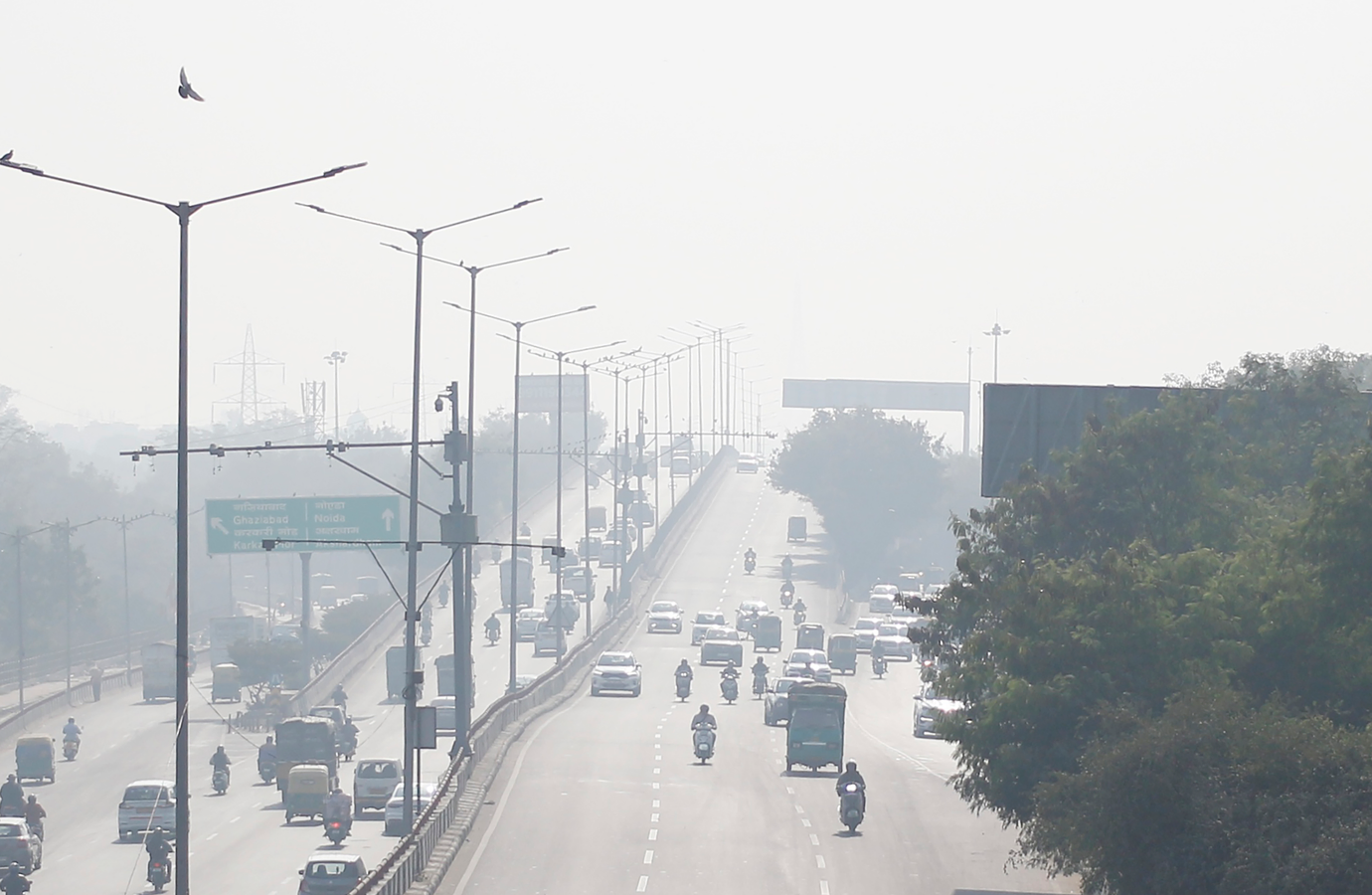
Meanwhile, the air quality of the city deteriorated to the moderate category again, and the 24-hour average air quality index (AQI) was logged at 119 (moderate) at 4 pm on Saturday, according to data from the Central Pollution Control Board (CPCB).
The AQI had improved dramatically on Friday, when the 24-hour average AQI was recorded at 93, distinctly in the 'satisfactory' category. Friday marked the first satisfactory air day in about five months (161 days), as the last time the city recorded 'satisfactory' air quality was on October 9, 2025, when the AQI stood at 99.
The air quality is likely to be in the 'moderate' category for the next few days, according to the Air Quality Early Warning System (AQEWS) for Delhi.
According to CPCB standards, an AQI of 0-50 is considered 'good', 51-100 'satisfactory', 101-200 'moderate', 201-300 'poor', 301-400 'very poor', and 401-500 'severe'.