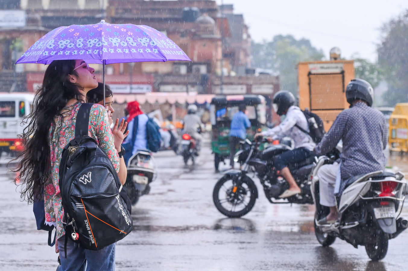
Jaipur, March 28 A new western disturbance is likely to bring fresh thunderstorm and rainfall activity to parts of Rajasthan starting Saturday, the Meteorological Centre here said.
According to the weather office, the system is expected to become active from March 28, leading to an increase in storm and rainfall activity across several regions.
On Saturday, districts in the Jodhpur and Bikaner divisions, as well as the Shekhawati region, may experience thunderstorms and light rain at isolated locations, particularly in the afternoon.
The impact is expected to intensify between March 29 and 31, with strong winds and light to moderate rainfall likely in parts of the Jodhpur, Bikaner, Ajmer, Jaipur, Bharatpur, Udaipur, and Kota divisions.
The MeT department also said that light rainfall may continue in some western and northern parts of the state during the first week of April due to subsequent western disturbances.
Meanwhile, light rainfall was recorded at isolated locations in the state during the past 24 hours ending Saturday morning. The maximum temperature was recorded at 38.9 degrees Celsius in Kota, while the minimum was 17.6 degrees Celsius in Sirohi, it added.